Early in the fourth week of July, after examining the day-by-day soaring forecast, I saw big potential in the coming Friday. Friday was forecast to be unstable, hot, with fairly calm winds and just enough humidity for nice clouds but not thunderstorms. The 4-day forecast was just bordering too humid, so I kept a close eye on it as I knew that a slight increase in humidity would prove for big overdevelopment. The forecast held, and with shortening days, I figured I had to try to attempt 1000km, as it might be my last opportunity this season.
I drove up on Thursday night, loaded my turn points on Friday morning, and had Ramy Yanetz sign my paper declaration. I declared three turn points: Tommy’s Top, a turn point I invented at the south end of the Inyo range, just north of Malpais Mesa, Pete’s Patch, a pasture about 15 miles north of boundary peak, and 1000k peak, just south of New York Butte on the Inyos (all silly names, I know, but I had to have some fun with it!). Fully ballasted in my dad’s Discus 2a ’16’, I took off at 11 o’clock flat with a special tow request: tow somewhere between 8,000 and 9,000ft between runway 2/20 and the frog pond (so that I could make my off-tow point my start point, whilst allowing for a little bit of distance margin). I felt some decent bumps on tow, so I popped off at right around 8,500ft over the Martis campground and hit ‘Start Task’ on the flight computer. I got down to about 7,700ft searching for a thermal, but then found a good one that took me up to about 11,000 ft. I headed towards Mount Rose and took another thermal to just short of 12,000ft. I figured that if I searched around more I would just waste altitude and precious time. I left Mount Rose at 11:30, and headed for the Virginia hills, hoping for a little climb to get me comfortably on the Pine Nuts. Since I was pretty low, I called up NorCal Approach to let them know of my presence. I took a nice 6 knot climb to about 12,000 again, and headed South. My strategy at this point was to fly conservatively to make it to the clouds in the distance, and then blast along to make up time. I took a great climb at about 12:00 that got me well above 13,000. I then wasted no time pushing to the wispy shreds of cu over Mount Siegel. I didn’t find a whole lot under the wisps at first, but eventually found a climb that got me high enough to head to the Desert Creek Ridge just north of Mount Patterson. After a little more searching, I took my first really good climb just south of Sweetwater airstrip, a solid 11 knotter up to 17,000+. Time to head to the Whites.
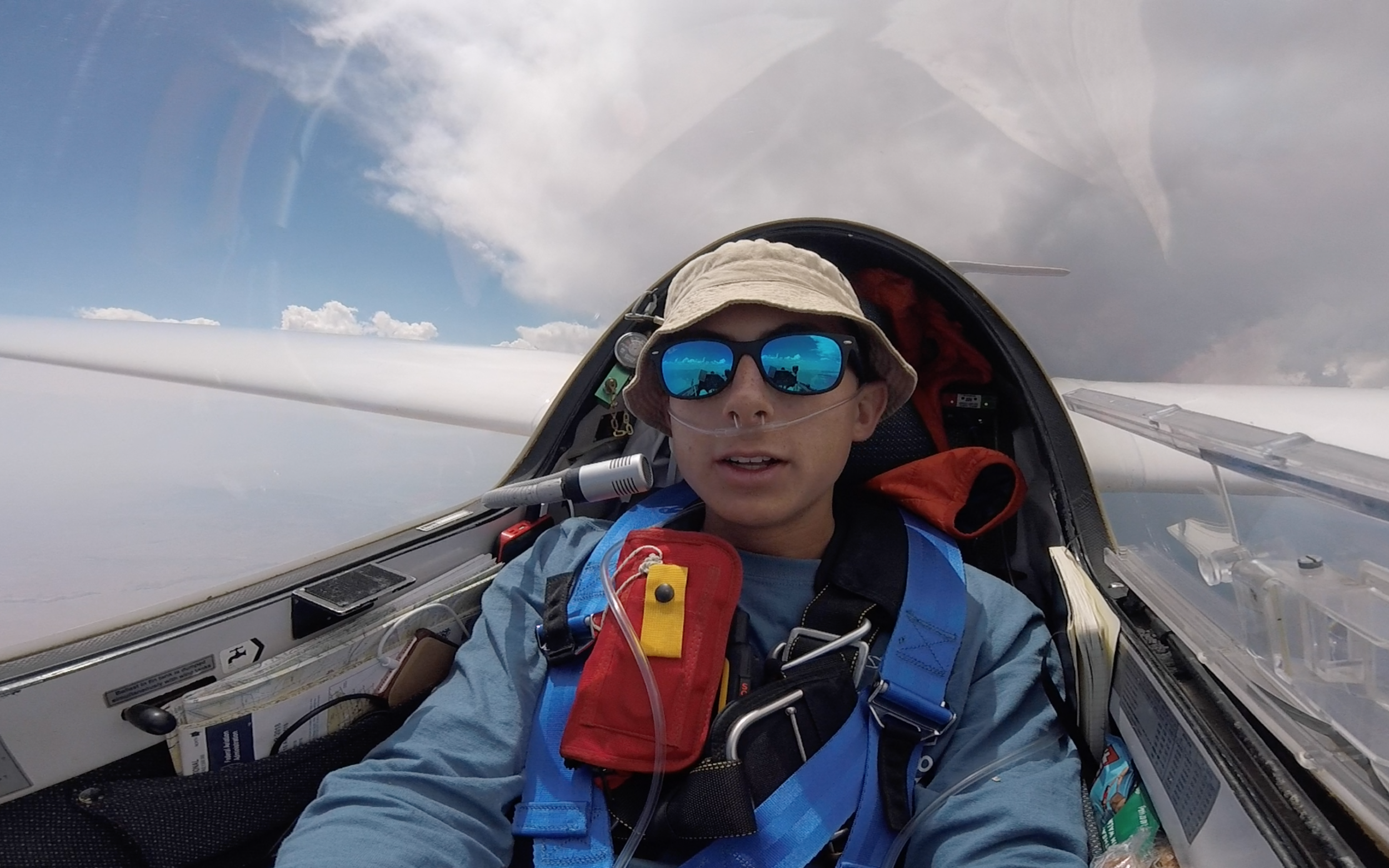
Climbing through 13,000 ft., looking up at White Mountain Peak on arrival to the Whites from the North
There was an unusual blue gap between Potato Peak and the Whites, but a little cu was developing just north of Glass Mountain, so I headed straight there. Because of the severe smoke, I couldn’t see the Whites nor Glass Mountain, but I could see clouds in the distance, and knew they were most likely fueled by the high terrain. I chose a good line which brought me to White Mountain Peak, albeit arriving lower than I had hoped. I got down to about 12,500ft on the west side of the Whites, being careful to put enough distance between me and the ground for safety. I took a good climb up to about 16,000 just south of White Mountain Peak, and blasted south. It was now about 2 o’clock, and I was about ten minutes ahead of schedule. I didn’t stay as high as I would’ve liked on my way south, but I knew that to go fast I would have to wait to find a strong climb before circling. I bumped along and eventually found a good climb, 9 knots to 17,000 just south-east of Mount Inyo. I then continued on, taking bumps of lift here and there. I made my first turn point just after 3 o’clock. I was still OK on time, but would have to fly faster to get to my second turn point by 4:00. I knew that if I didn’t get there by 4 o’clock, I’d have to head back home. I lit the afterburners and got to White Mountain Peak at 3:45; my average speed since my turn was almost 120 mph! I was just on time, but had a big problem: it was raining all around me when I got to Mt Hogue. I heard Tom Serkowski ‘5Z’ over the radio, he was coming up to the Whites from the north-east. He sounded pretty concerned, stating that he couldn’t find any good air. I realized that pushing through he virga was a foolish decision, and that I’d much rather not complete the task than find myself in a sketchy situation at the base of the Whites.

Looking up the Whites from Schulman Grove, early signs of OD on the North end of the Whites.
After abandoning task, I headed straight for Mammoth. There were nice cu there, it was away from the thunderstorm and if worse came to worse, I would have a safe place to land. I took a solid climb just short of Mammoth up to 17,500 ft, it was at that point that Ramy caught up to me. Visibility was really poor and I was definitely glad to have one of the area’s most experienced pilots with me to battle the smoke. Visibility to the North was better; Ramy and I flew together under another of the strongest convergence lines I’ve ever experienced: we flew another 100 miles in about 50 minutes. We turned south again at 5:30, 20 miles due north of the shore of Walker Lake. I flew down to Gimmey’s Bowl, where I ran out of battery. Sigh. We were at the end of a cloud street, so I figured Ramy would probably head north again, so I did. I turned on my handheld radio and tried to call him a couple of times with no response, but eventually got the word that he had continued south when I turned north. I went back to 20 miles north of Walker, and since it was almost 6:30, I decided that I should probably consider heading home. My Oudie flight computer (which has a shot battery) was telling me that I had easy glide to Carson City and possible glide to Truckee. I flew straight towards Carson, experiencing lots of sink and little bits of wave here and there. Luckily, my Oudie ran out of battery when I had a clear visual of Carson City, it had helped me navigate through the smoke. I pushed to get into the wave in the lee of the Spooner Ridge, and got a little bit of wave, but not enough to make a definitive final glide to Truckee. And, without a flight computer to tell me the strength of the wind, I really didn’t want to risk it. So, I decided to go land at Carson. I also hadn’t charged the handheld the night before so it was getting pretty low on battery; I figured without functioning electronics and the active tower at Truckee, I was in for a ground retrieve. So, at about 7:00, I landed long at Carson and took the high-speed turn off, which brought me as close to the airport gate as possible (it was nice to not have to push the glider half a mile!). Brent Davidson came to pick me up about an hour later and we packed the glider into the trailer just after sunset.

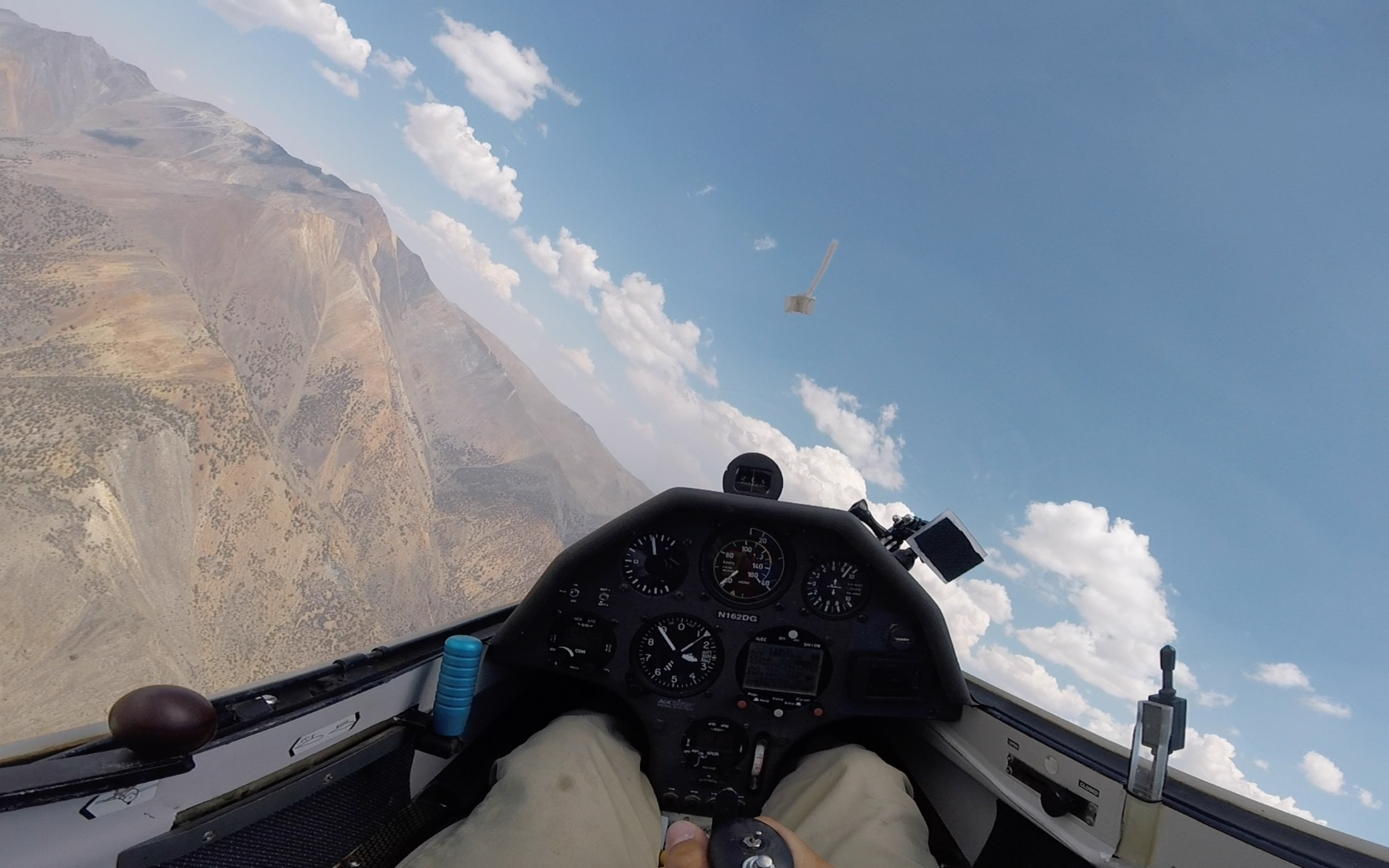
Cruising under the shelf by Mt. Grant with Ramy in TG
Although I didn’t complete my 1000km declared task, I had one of the most amazing flights of my life. I had spent 8 hours in the cockpit and recorded over 910km, averaging over 105 mph over four of six total legs in some of the best soaring conditions in the world. We will never know exactly how far I flew on the 27th of July 2018, since the flight computers stopped recording when the batteries died, but I expect it was somewhere around 935km. What a flight (OLC link)!
Thank you so much to my Dad, David Greenhill, who helped me plan, set my expectations for this flight and let me fly his glider. Special thanks also to Ramy Yanetz and Peter Deane for their support and mentorship to help me progress so quickly as a cross-country glider pilot.